Eyes on the Ground — Without Boots on the Ground
ALTITY helps infrastructure, logistics, and agriculture businesses monitor remote assets through satellite & drone intelligence.
Stop guessing. Start seeing. ALTITY is a space-data
platform that combines satellite imaging, drone flyovers, and
on-site IoT sensors — so you can track, assess, and act on what's
happening in real-time, anywhere on Earth.
Whether it's a pipeline in the Arctic, a wind farm in the desert,
or a supply route through the jungle — ALTITY gives you instant
visibility, without the operational risk.
 Detect
activity in conflict or border zones
Detect
activity in conflict or border zones
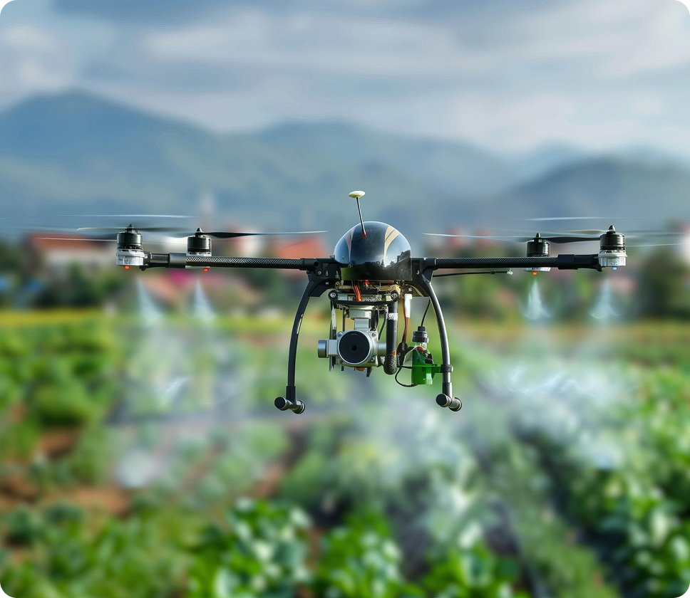
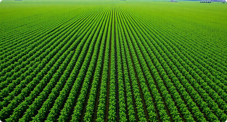
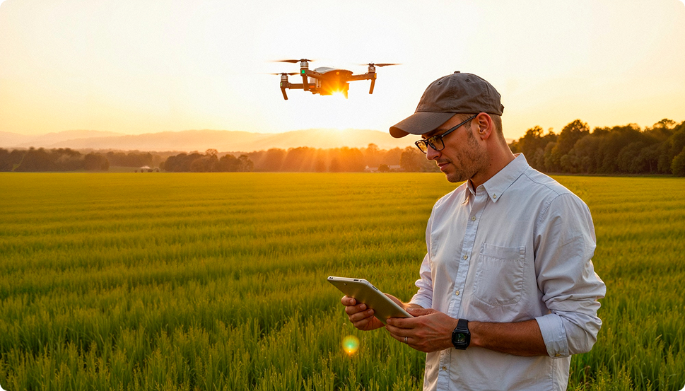
 Track
crop health across thousands of hectares
Track
crop health across thousands of hectares
 Monitor
infrastructure health and environmental shifts
Monitor
infrastructure health and environmental shifts
 Confirm
cargo paths and field equipment status
Confirm
cargo paths and field equipment status


 Operations
Worldwide
Operations
Worldwide

 Secure
Platform. NDA available.
Secure
Platform. NDA available.